
Photography
A wide range of photography options are available. Aerial photography can give a fresh new perspective on any object or subject. From straight forward photography to immersive 360º captures to quirky edits.
 The Janie Seddon wreck
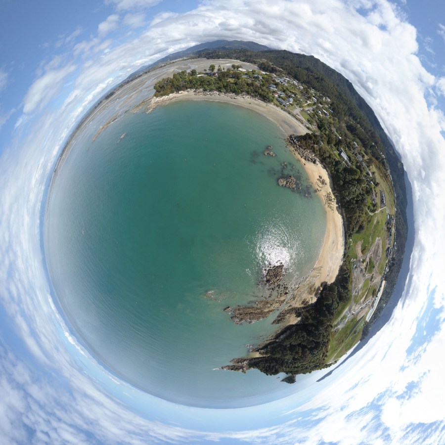 Dummy Bay
Multi-spectral imaging (Coming soon)
Multi-spectral imaging targets areas of light that pertain to plant biology. Depending on factors such as growth stage, level of stress or impact from disease, plants reflect light differently. Multi-spectral sensors measure this difference. More specifically, a high grade sensor is attached to a drone and it is able to detect light in five spectral bands; blue, green, red, red edge and near infrared. The overlapping images collected are merged together to create a reflectance map.

As the data collected is quantitative, farmers can take a seemingly lush, healthy field and pinpoint area of stress, disease outbreak or nutrient deficiency. Targeting such problem areas and treating accordingly growers can increase efficiency, yield and the bottom line.
Mapping
High resolution maps can be made to assist in planning, construction, inspection, and insurance claims to name but a few.
3-D modelling
Virtually any object can be turned into a 3-D model. This allows you to take measurements and have full control to where you look, when and how. Please right click on the following link to save the Split Apple Rock in 3-D as a PDF document. Then open it with your PDF viewer. It works best with Adobe Reader, available free at; https://get.adobe.com/reader/
